
What is the best UAV system for running Lidar, GIS mapping, aerial survey, volumetrics, etc?
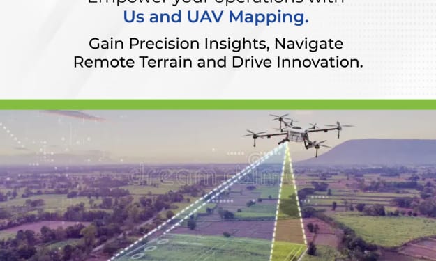
UAV Mapping

The Best UAV System for LiDAR, GIS Mapping, Aerial Survey, and Volumetrics
Unmanned Aerial Vehicles (UAVs) have revolutionized the fields of mapping, surveying, and data collection. When it comes to tasks such as LiDAR, GIS mapping, aerial surveys, and volumetric analysis, selecting the right UAV system is crucial. The best UAV Mapping System should combine precision, reliability, and advanced technology to ensure accurate and efficient data collection. Here’s a detailed look at some of the top UAV systems tailored for these applications.
DJI Matrice 300 RTK with LiDAR Payloads
The DJI Matrice 300 RTK is a versatile and robust UAV system, renowned for its high performance in professional surveying and mapping applications. This UAV is compatible with various LiDAR payloads, such as the Zenmuse L1, which integrates a Livox LiDAR module, a high-precision IMU, and a camera with a 1-inch CMOS sensor.
Key Features:
- RTK Precision: The Real-Time Kinematic (RTK) positioning system ensures centimeter-level accuracy, crucial for GIS mapping and volumetric calculations.
- Long Flight Time: Up to 55 minutes of flight time, allowing for extensive area coverage in a single flight.
- Versatility: Compatible with multiple payloads, making it suitable for various applications including LiDAR, photogrammetry, and thermal imaging.
SenseFly eBee X
The SenseFly eBee X is another excellent choice for UAV aerial mapping and surveying. This fixed-wing drone is designed for large-scale mapping projects and offers a range of camera options, including the SenseFly S.O.D.A. 3D and the SenseFly Aeria X.
Key Features
- High Efficiency: Capable of covering up to 500 hectares (1,235 acres) in a single flight, ideal for extensive GIS mapping projects.
- Payload Flexibility: Supports a variety of payloads, including RGB, multispectral, and thermal cameras, providing comprehensive data collection capabilities.
- Durability: Built for tough environments, with a robust design that ensures reliability in various conditions.
Quantum Systems Trinity F90+
The Quantum Systems Trinity F90+ is a VTOL (Vertical Take-Off and Landing) UAV, combining the advantages of both fixed-wing and multi-rotor systems. This makes it perfect for detailed aerial surveys and GIS mapping.
Key Features:
- VTOL Capability: Ensures efficient take-off and landing in confined spaces, making it highly versatile for different terrains.
- Long Range: Can cover large areas with a range of up to 700 hectares (1,730 acres) per flight.
- Precision Mapping: Compatible with high-precision GNSS systems and a variety of sensors, including LiDAR and multispectral cameras.
YellowScan Surveyor Ultra
For those specifically focused on LiDAR applications, the YellowScan Surveyor Ultra, paired with a suitable UAV platform like the DJI Matrice 600 Pro, offers unparalleled accuracy and data quality.
Key Features:
- High-Resolution LiDAR: Provides detailed 3D point clouds, essential for accurate volumetric analysis and terrain mapping.
- Lightweight and Compact: Easy to integrate with various UAV platforms, ensuring flexibility and ease of use.
- Real-Time Data: Capable of real-time data processing, enhancing efficiency in field operations.
Conclusion
Selecting the best UAV system for LiDAR, GIS mapping, aerial surveys, and volumetric analysis depends on the specific requirements of your project. The DJI Matrice 300 RTK, SenseFly eBee X, Quantum Systems Trinity F90+, and YellowScan Surveyor Ultra are all top contenders, each offering unique strengths tailored for different aspects of UAV mapping and surveying.
By choosing a UAV Mapping System that aligns with your project needs, you can ensure precise data collection, enhanced productivity, and superior outcomes in your aerial mapping endeavors
About the Creator
Enjoyed the story? Support the Creator.
Subscribe for free to receive all their stories in your feed. You could also pledge your support or give them a one-off tip, letting them know you appreciate their work.
Keep reading
More stories from 3D Pointshot and writers in Education and other communities.
What are the benefits of using a drone for surveying?
Using a drone for surveying has revolutionized the way we collect and analyze spatial data. The benefits of using drones, particularly in UAV (Unmanned Aerial Vehicle) mapping, are numerous and impactful across various industries. Let's delve into the specific advantages, incorporating insights from 3D Pointshot and the key terms UAV mapping, UAV Mapping System, and UAV aerial mapping.
By 3D Pointshot14 days ago in Education
Distributing Music on Deliver My Tune: A Beginner's Guide
Distributing music has become more accessible than ever, thanks to platforms like Deliver My Tune. This guide will walk you through the process, ensuring your music reaches the widest possible audience. Whether you are an emerging artist or an experienced musician, understanding how to use Deliver My Tune can significantly impact your reach and success in the music industry.
By Music Industry Updatesa day ago in Education


Comments
There are no comments for this story
Be the first to respond and start the conversation.