
Enhancing Efficiency with Drone Mapping: Applications by 3DPointshot
UAV mapping, UAV Mapping System, UAV aerial mapping
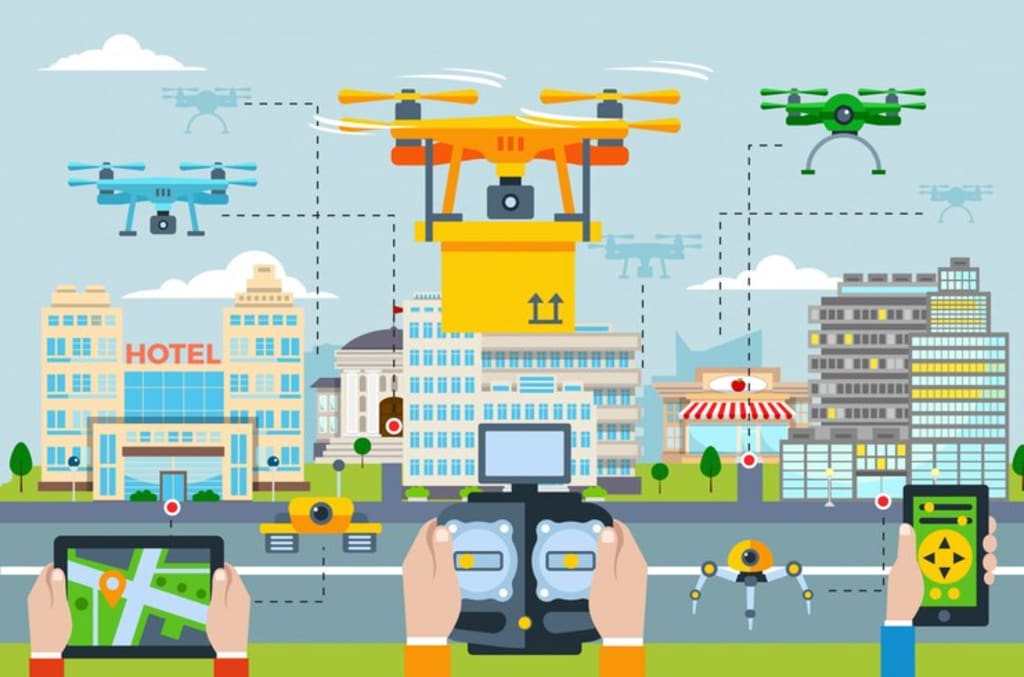
Drone mapping, also known as UAV mapping, has revolutionized various industries by providing precise and comprehensive data collection capabilities. At the forefront of this technology is 3DPointshot, a company renowned for its expertise in UAV Mapping System solutions. Drone mapping is utilized for a multitude of applications, transforming how industries gather and analyze spatial data.
Surveying and Land Management
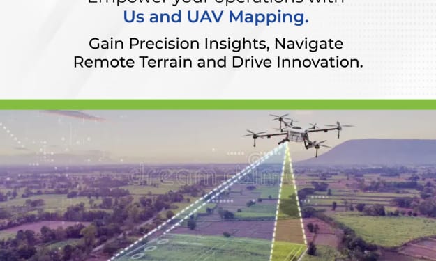
UAV aerial mapping is extensively used in surveying and land management. Drones equipped with high-resolution cameras and LiDAR sensors can capture detailed images and generate accurate 3D models of the terrain. This allows surveyors to create precise maps and topographical models, which are essential for land management, urban planning, and construction projects. With 3DPointshot’s UAV Mapping System, surveyors can cover large areas in a fraction of the time it would take using traditional methods, significantly reducing costs and improving efficiency.
Agriculture and Precision Farming
In agriculture, UAV mapping plays a crucial role in precision farming. Drones equipped with multispectral and thermal sensors can monitor crop health, assess irrigation needs, and identify pest infestations. This real-time data allows farmers to make informed decisions about crop management, optimizing yield and reducing resource wastage. 3DPointshot provides tailored UAV aerial mapping solutions for agriculture, helping farmers to enhance productivity and sustainability.
Construction and Infrastructure
UAV Mapping Systems are invaluable in the construction and infrastructure sectors. Drones can conduct site surveys, monitor progress, and inspect structures, all while providing high-resolution imagery and 3D models. This data helps project managers track development, identify potential issues, and ensure quality control. 3DPointshot’s UAV mapping solutions facilitate precise measurements and comprehensive documentation, improving project timelines and reducing the risk of errors.
Environmental Monitoring and Conservation
Environmental monitoring and conservation efforts also benefit from UAV aerial mapping. Drones can survey large and often inaccessible areas, collecting data on wildlife habitats, forest health, and environmental changes. This information is crucial for conservationists and researchers working to protect natural resources and biodiversity. 3DPointshot supports these initiatives with advanced UAV Mapping Systems that provide accurate and timely data.
Disaster Management and Emergency Response
In disaster management, UAV mapping is essential for assessing damage, planning rescue operations, and monitoring recovery efforts. Drones can quickly map disaster-affected areas, providing real-time information to emergency responders. This capability enhances situational awareness and helps coordinate efficient response strategies. 3DPointshot offers robust UAV mapping solutions that aid in disaster preparedness and response, ensuring that critical information is available when it is most needed.
Conclusion
In summary, drone mapping, or UAV mapping, is a versatile tool used across various industries for surveying, agriculture, construction, environmental monitoring, and disaster management. Companies like 3DPointshot lead the way in providing advanced UAV Mapping Systems, delivering accurate and comprehensive data that transforms how businesses and organizations operate. Whether it's creating detailed topographical maps, monitoring crop health, or assessing disaster damage, UAV aerial mapping from 3DPointshot offers innovative solutions that enhance efficiency, accuracy, and decision-making.
About the Creator
Enjoyed the story? Support the Creator.
Subscribe for free to receive all their stories in your feed. You could also pledge your support or give them a one-off tip, letting them know you appreciate their work.
Keep reading
More stories from 3D Pointshot and writers in Art and other communities.
What are the benefits of using a drone for surveying?
Using a drone for surveying has revolutionized the way we collect and analyze spatial data. The benefits of using drones, particularly in UAV (Unmanned Aerial Vehicle) mapping, are numerous and impactful across various industries. Let's delve into the specific advantages, incorporating insights from 3D Pointshot and the key terms UAV mapping, UAV Mapping System, and UAV aerial mapping.
By 3D Pointshot12 days ago in Education
How does it feels to be a k-pop fan in India
K-pop fans from India are the most loyal fans you will ever get. Being a brown girl , I really have no resources to join them on their tour, or buy their products. Nor do they do any of their tours in India. It's saddening yet I love them. We Indian girls are born and brought up in a very strict atmosphere (I'm sure all the brown girls here will relate) , so for us k-pop is a place where we can rest, have fun, enjoy their energy and get motivated by them. They are the people we can love without expecting them to love back. In the midst of hardlife and career tensions, k-pop gives peace , k-pop brings energy, k-pop heals , k-pop nutures! So even though it's tough to stan our favourite groups from India, we will still love them!
By Shuvra Bag2 days ago in Art
Take Me With You
I've been here, my love. Watching, waiting. I've wanted to come to you, but I can't seem to break free of these wrought iron bars. You must have looked upon my face at least a hundred times these last few months, yet your face never once lit up for me. Not the way I know mine does for you. It's like you didn't recognize me anymore.
By Kenny Penn7 days ago in Fiction


Comments
There are no comments for this story
Be the first to respond and start the conversation.